
Aerial Mapping & Site Documentation
Solar Panel & Renewable Energy Inspection for Northeast Ohio & Western PA
Solar installations are a significant capital investment — and like any asset exposed to weather, time, and the elements, they require regular inspection to perform as designed. NE Ohio Drone provides professional aerial visual inspection of commercial solar arrays and rooftop installations across Northeast Ohio, delivering high-resolution documentation that helps owners, operators, and insurers stay ahead of problems before they become expensive ones.
Why Solar Installations Need Aerial Inspection
Ground-level inspection of a large commercial solar array or rooftop installation is slow, physically demanding, and often incomplete. Rows of panels on a low-slope commercial roof or a multi-acre ground-mount system simply cannot be thoroughly assessed from the ground — the angles are wrong, the access is limited, and the time required is significant.
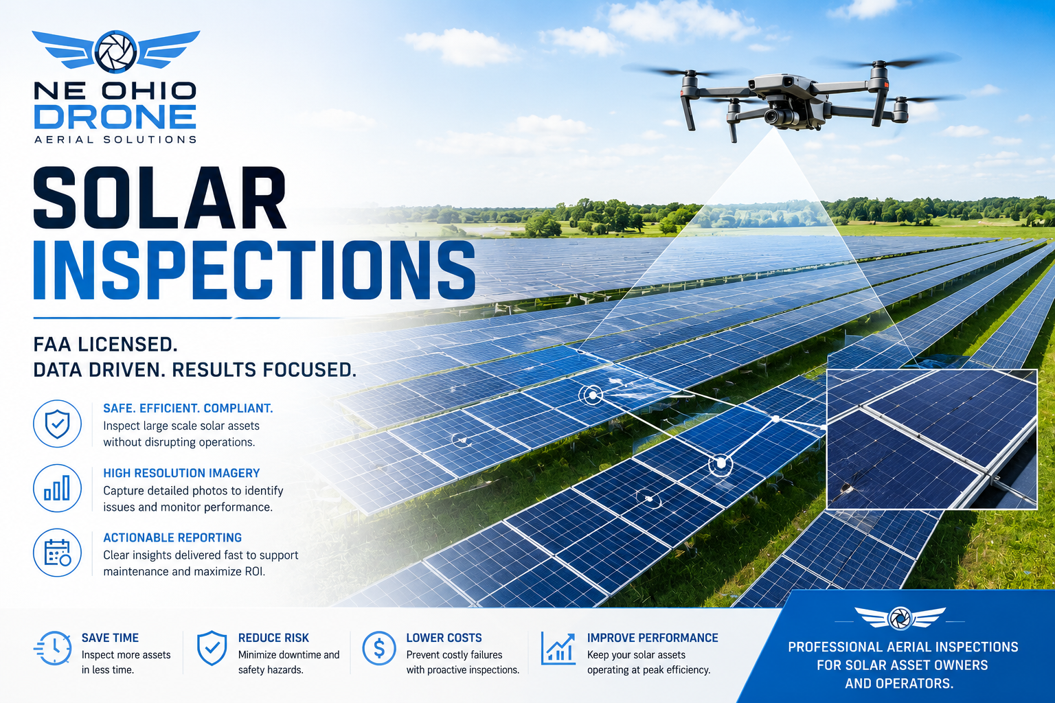
Aerial inspection changes that equation. A drone covers the full array quickly, capturing every panel from above at consistent angles, documenting physical condition, soiling patterns, visible damage, mounting hardware, and wiring runs — organized, repeatable, and delivered digitally. No ladders, no rooftop access, no disruption to operations.
What We Document
High-resolution aerial imagery of panel surfaces, frames, and glass — identifying cracking, delamination, discoloration, soiling buildup, and visible physical damage across the entire array.
Close-range documentation of mounting systems, rail connections, ground anchors, and structural supports. Identifies corrosion, loose fasteners, and hardware conditions that can compromise array integrity over time.
Aerial overview of visible DC wiring runs, conduit routing, and combiner box locations — documenting organization, physical condition, and any areas of concern visible from above.
Post-event aerial documentation of hail impact, wind damage, debris accumulation, and structural displacement. Fast, complete coverage of the full array when you need answers quickly and safely.
Aerial photography clearly shows soiling patterns, leaf and debris accumulation, bird activity, and other surface conditions that reduce output — helping maintenance teams prioritize cleaning and service visits.
Side-by-side aerial imagery before and after maintenance, cleaning, or repair work provides a verifiable record of condition and work completion — valuable for O&M contracts and warranty support.
Who Hires NE Ohio Drone for Solar Inspection
Warehouses, manufacturing facilities, and commercial buildings with rooftop arrays who need periodic condition documentation without disrupting operations or sending crews onto the roof.
Operations and maintenance teams servicing multiple installations benefit from aerial documentation as a fast, consistent baseline inspection tool before committing ground crews to a site.
Storm and hail damage to solar arrays is a growing claims category. Aerial documentation from a licensed, insured operator provides the imagery and metadata that supports accurate, defensible estimates.
Pre-installation site documentation and post-installation aerial photography create a clean before-and-after record — useful for client sign-off, marketing, and warranty baseline documentation.
Managing a commercial portfolio with solar assets? Scheduled aerial inspection programs give you a consistent, documented view of array condition across multiple properties without on-site coordination headaches.
Large ground-mounted arrays covering multiple acres are impractical to inspect manually. Aerial coverage of the full installation — rows, spacing, mounting, and surrounding access areas — in a single efficient flight.
How It Works
We review your installation — rooftop or ground-mount, size, and location — and handle any required FAA airspace authorizations before the mission begins. Many commercial and industrial properties sit near controlled airspace; that's never a problem for a licensed operator.
We fly a planned pattern over your array, capturing high-resolution imagery of every panel row from consistent angles and altitudes. Coverage is complete — no skipped sections, no blind spots.
For areas of interest identified during the primary pass — visible damage, hardware concerns, soiling patterns — we make additional low-altitude passes to capture detail imagery that supports a clear assessment.
Imagery is delivered digitally, organized by array section or row, with consistent naming and metadata. Ready for your O&M team, insurance adjuster, or internal records — no sorting required on your end.
Delivered within 24 hours of the shoot for standard inspections. For emergency storm documentation, we work to accelerate delivery. Ed Rich is available directly for any questions about the imagery.
Recurring Inspection Programs
Solar arrays don't need to be inspected once — they need to be monitored over time. NE Ohio Drone offers annual, semi-annual, and quarterly aerial inspection programs for commercial solar operators and property managers. Consistent flight paths, repeatable documentation, and a growing visual history of your installation's condition. Retainer pricing is available and structured around your maintenance calendar. Contact Ed Rich directly to discuss a program that fits your portfolio and budget.
Deliverable Formats
High-Resolution JPEG — Full-array overview images and detail shots, organized by section. Ready for reports, insurance claims, O&M documentation, and internal records.
Organized Image Sets — Files named and sorted by array zone, row, or structure for easy navigation by your maintenance or claims team.
Video Walkthrough — An edited aerial video pass of the full installation, suitable for stakeholder reporting, owner updates, or insurance documentation. Available on request.
If your team has a specific format, naming convention, or delivery platform requirement, ask us — we'll work with your workflow.
Get a Solar Inspection Quote
Tell us about your installation — rooftop or ground-mount, approximate size, and location — and we'll get back to you promptly with pricing and availability.
📞 (330) 208-3601 ✉ NEOhioDrone@gmail.comFAA Part 107 Licensed · $1 Million Liability Insurance · Serving Northeast Ohio & Western Pennsylvania
"If it's worth protecting, it's worth documenting properly."
— Ed Rich, NE Ohio Drone LLC